Early GTA 6 map model shown in flyover: island, city and coastline
Footage of a purported early GTA 6 map shows an island, coastline and city with textures resembling satellite imagery.
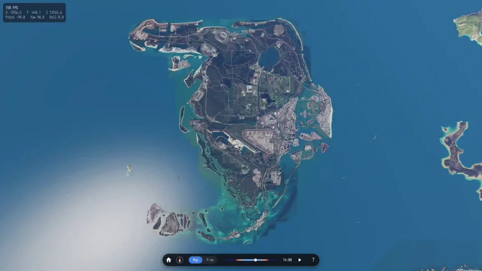
A flyover of a purported early GTA 6 map appeared online. The wide view shows an island with roads and urban development along the coast. Closer views reveal city blocks, while large areas of the surface resemble satellite imagery.
The model is attributed to material from 2014-2015. This is a rough development stage, so the footage does not show what the game’s final map will look like.